
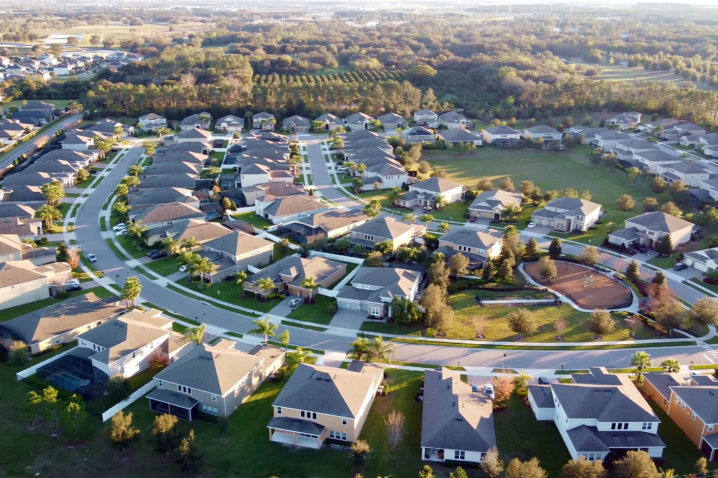
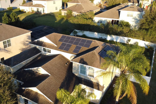
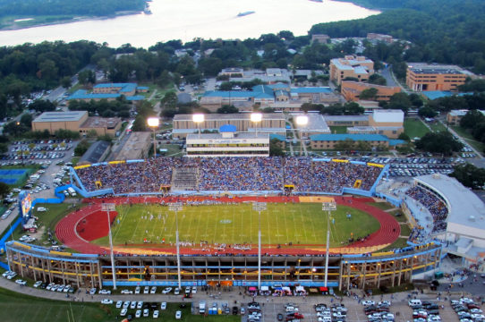
Your Source for Drone Aerial Photography
We understand what it takes to capture the high quality aerial imagery
FULLY FAA LICENSED AND INSURED
Aeridata is licensed and approved for commercial drone applications across the US. We hold FAA part 107 licenses and pride ourselves in providing safe, licensed, insured operations to all of our clients large or small.
OUR DRONE INDUSTRY EXPERIENCE
We have over 14 years of professional experience providing aerial drone services to many satisfied clients across various industries. Chances are we have worked in your industry and are familiar with your needs and requirements.
DRONE SAFETY FEATURES
Our drone software ensures that the GPS unit can obtain enough satellites to ensure your drone has excellent position lock providing a safe return to launch area, making sure in the unlikely event that these systems fails, our drones will still be able to land safely.
MULTIPLE AERIAL PLATFORMS
Once we are familiar with what you are looking to have done, we choose the right drone configuration for your project. Having the right camera on the appropriate drone platform, specifically designed for your project, insures the product and the quality expected by our clients.
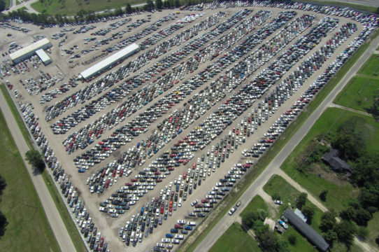
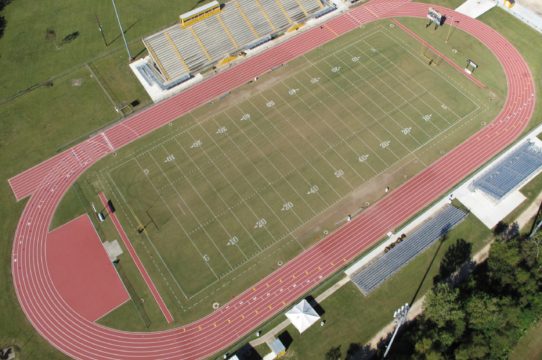
Types of Aerial Services We Offer
Aerial Photography, Construction Progress Monitoring and Industrial Inspection Services.
Aerial Photogrammetry
Preparation of Digital Mapping , CADD Modeling & Design, Digital Terrain Modeling Ortho Photography, LiDAR Acquisition & the Processing Volumetrics Data.

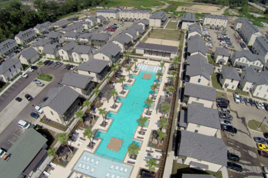
Construction Progress
Periodic construction site monitoring services for your on-going projects. Weekly, monthly or when you need it, we can capture current conditions and site devlopment.
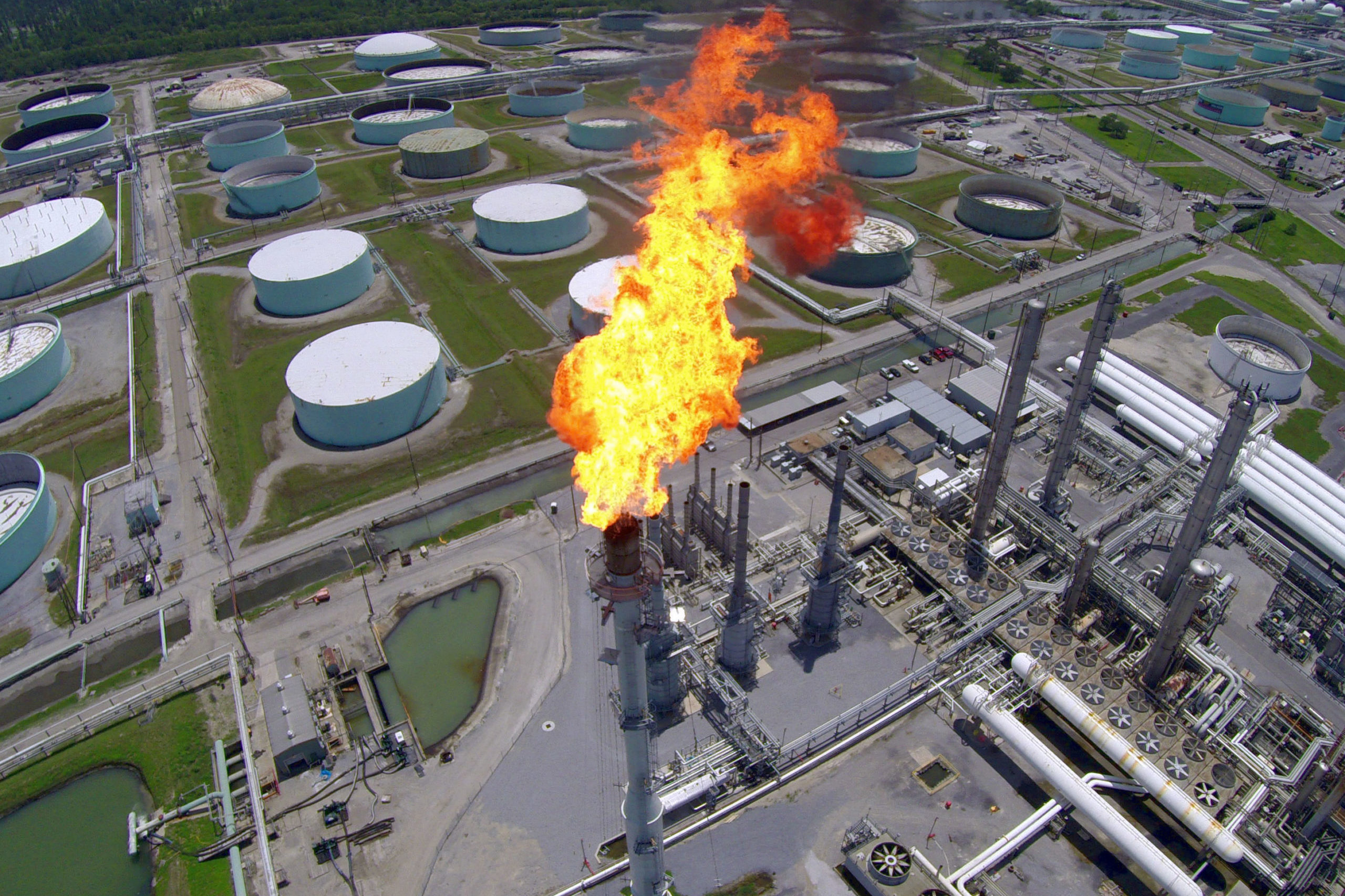
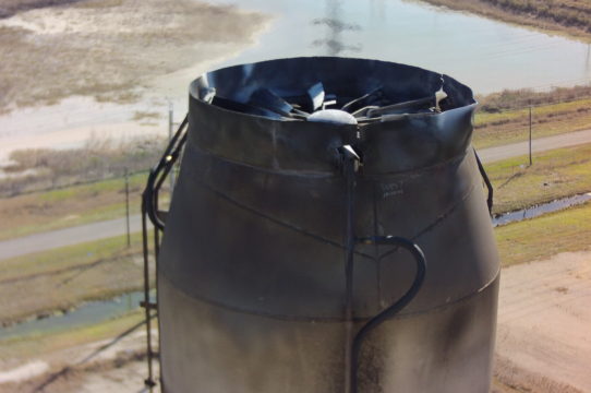
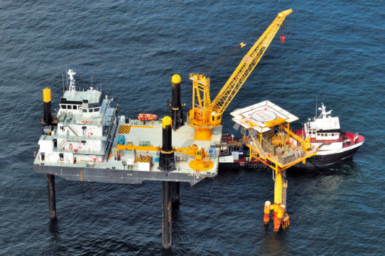
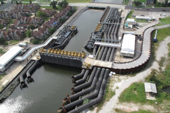
Industrial Inspection
Detailed images of critical oil & gas components can be efficently captured without the need for shutdown or the disturbance of the production process.


Contact Us
Call us for more information and to request services (225) 366-9990