
Aerial Photogrammetry
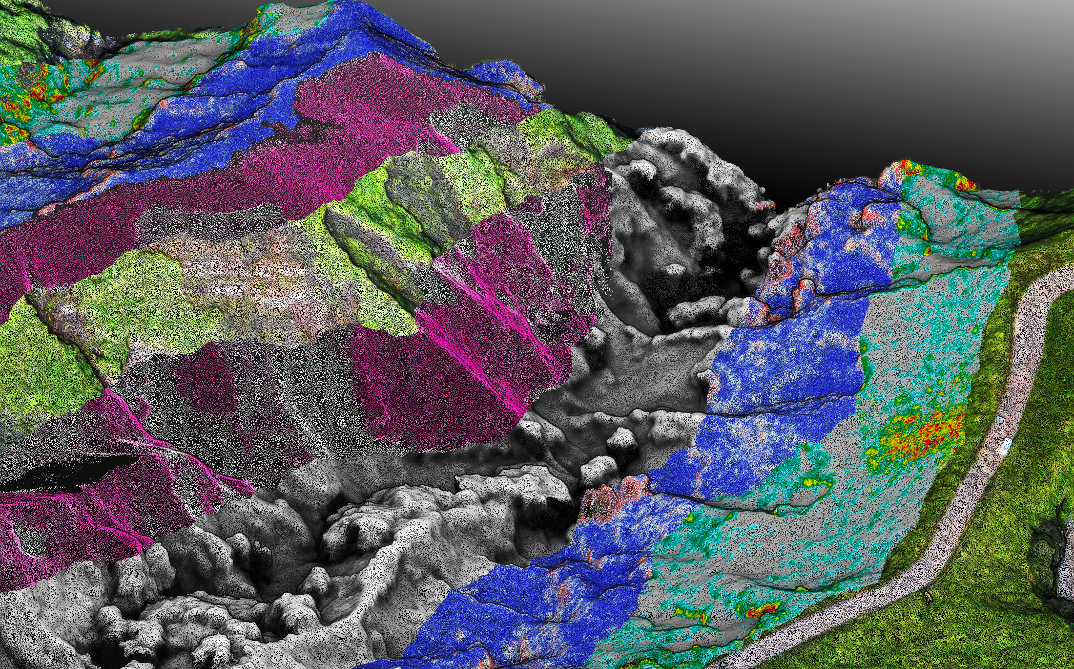 Aerial photogrammetry consists of using the aerial imagery gathered by UAVs to create 2D and 3D computer-generated models. These models are topographical in nature, meaning they represent the dimensions and physical features of the area of land, and in stunning accuracy. These models can be rotated and zoomed because they are created entirely from images of the real locations as captured by a UAV, they will show every last photographic detail that exists in those photos.
We can help with your digital imagery project, fill out the email form below and we will schedule a phone call to discuss your project.